
Translating environmental sensing into real-world decisions
We are a specialist science and delivery team working in bushfire risk, forest management, and geospatial intelligence, turning complex environmental sensing data into defensible operational outcomes.
Australia based • Working internationally
Environmental data has advanced
faster than decision-making.
Organisations collect vast spatial datasets across natural assets, but still struggle to answer critical, practical questions:
We operate in the gap between research and operational use, making science trusted and accessible for non-technical users.
Our Approach
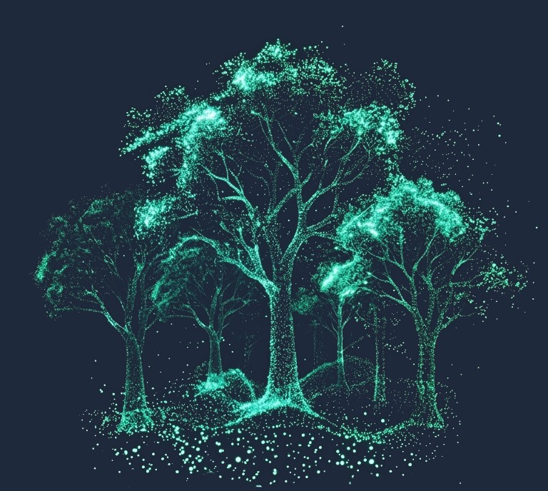
We work at the edge of nature data, where new sensing meets real-world decisions.
Our role is to bring clarity, translating frontier environmental science into decisions that can hold.
Our Approach to Delivery
We sit between science and decisions
Not academic research and not general consulting.
Science + delivery in one team
Scientific validation paired with operational implementation.
User-Centric Resolution
Our approach gets to 'the problem you're solving' — with resolution.
Focused Delivery
Deliberately selective engagements with a specialist swarm model.
How Engagements Work
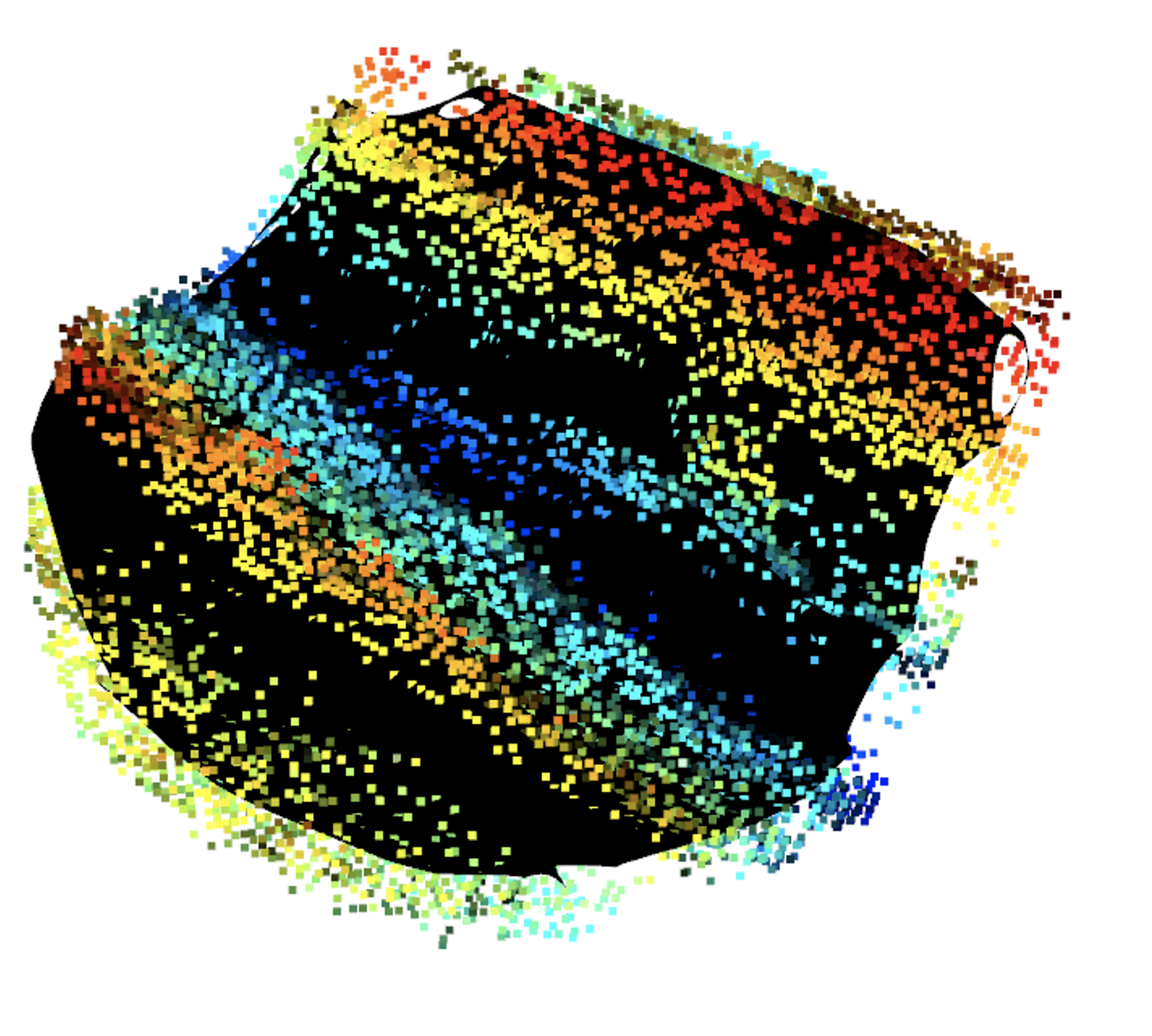
Scope
Understanding the decision context, constraints and success criteria.
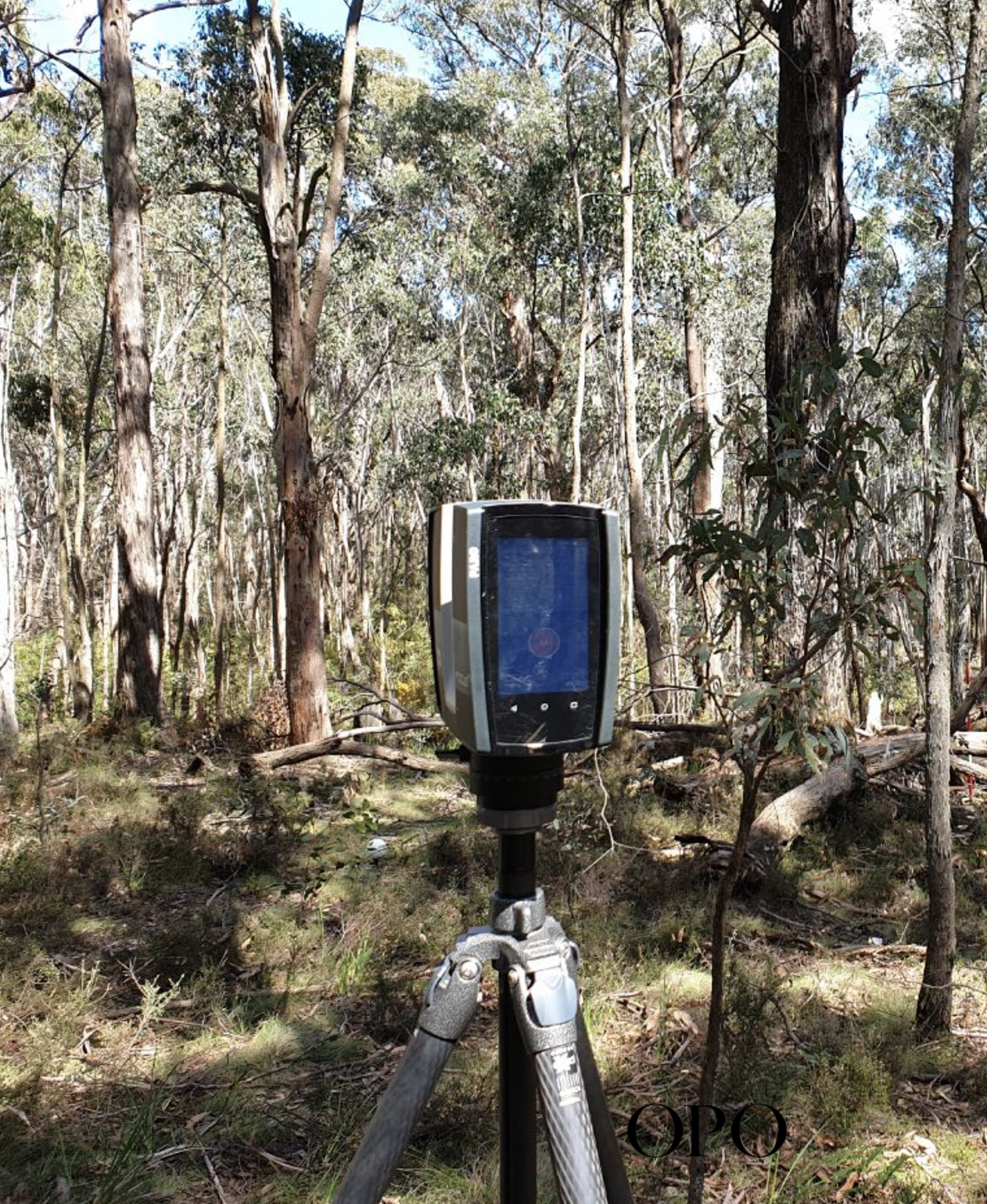
Targeted Analysis
Focused scientific work aligned to the operational need.
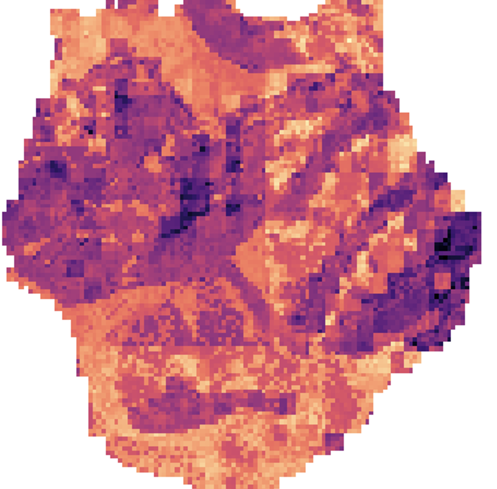
Operational Reporting
Build the system for decision guidance.
Capability Transfer
Ensuring internal confidence and repeatability.
Outputs
Validated Intelligence
- Operational Risk Mapping — High-resolution prioritisation for bushfire and forest assets.
- Structural Metrics — Validated fuel hazard, 3D biomass, and canopy architecture.
- Scientific Integrity Reports — Defensible documentation of methods, accuracy, and error margins.
- Change Detection — Peer-reviewed approaches to pre- and post-treatment evaluation.
Deployment & Systems
- Decision Frameworks — Translating complex spatial outputs into "Ready-to-Act" executive summaries.
- Automated Pipelines — Cloud-native processing to turn raw sensing into recurring insights.
- GIS Integration — Data packages designed to slide directly into existing operational workflows.
- Capability Transfer — Custom documentation and training for internal technical teams.
Team
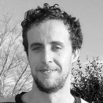
Dr Luke Wallace
Chief ScientistSpecialist in 3D vegetation structure and automated forest inventory. Responsible for scientific leadership and design, validation, and integrity.
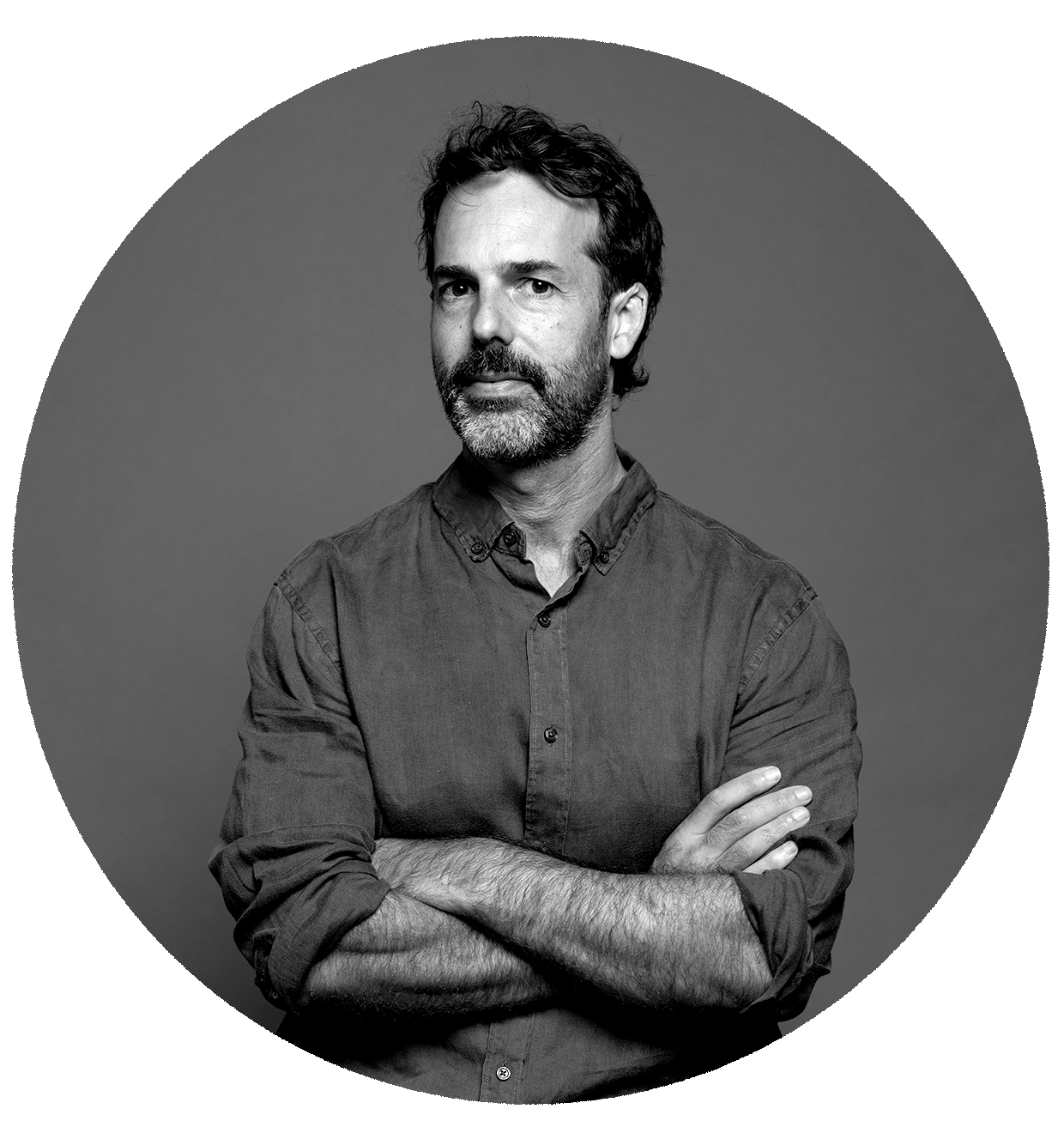
Thomas Gooch
Delivery ArchitectTranslates environmental science into operational decision frameworks and client deployment.
Contact
Liff Signal Briefing
Periodic updates on LiDAR science and forest inventory frameworks.